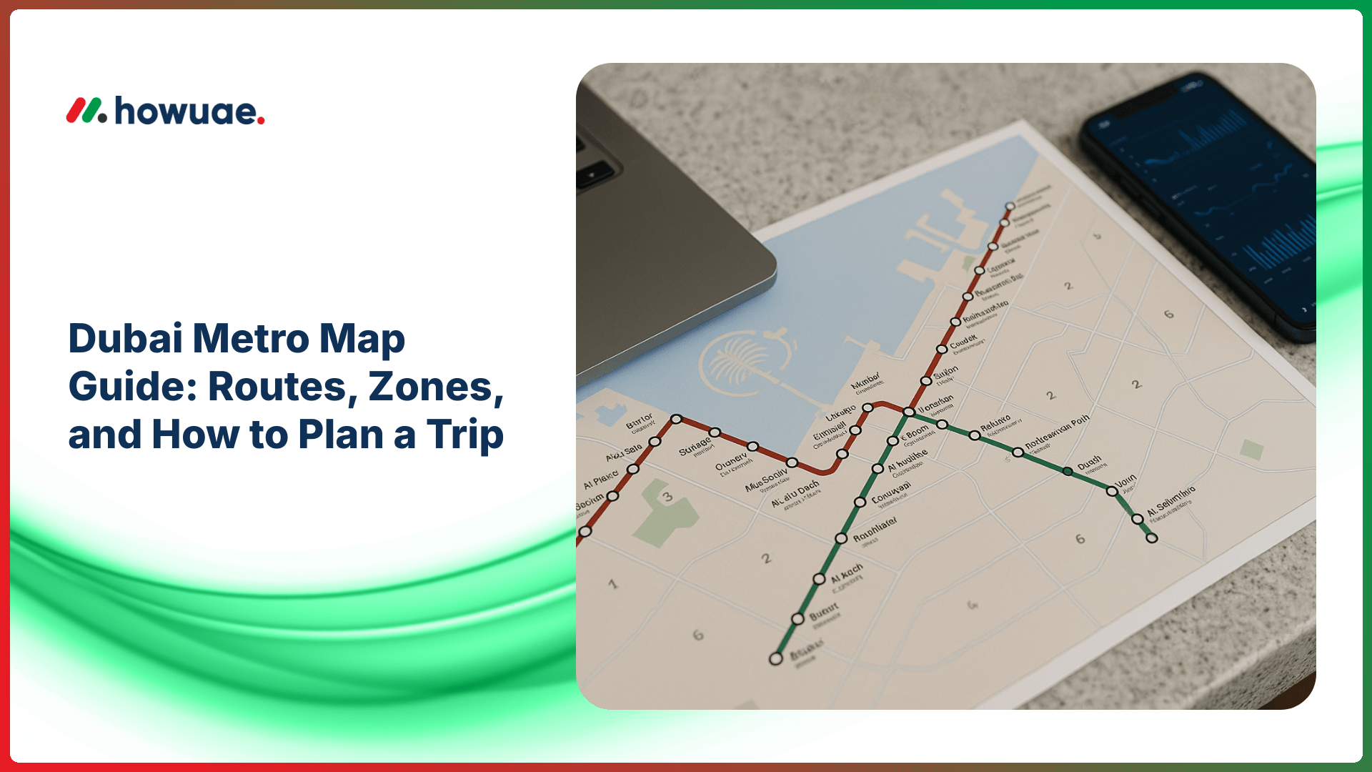
If you’re new to commuting in Dubai, the fastest way to get oriented is to start with a clear Dubai Metro map. In this guide, you’ll learn how the Red and Green lines connect, how fare zones work, and how to plan a smooth trip—whether you’re heading to work, the airport, or a weekend attraction.
Quick overview: Dubai Metro lines and what they cover
Dubai Metro has two main lines that cover most high-demand corridors and connect to trams, buses, and major hubs. Understanding the basic layout makes route planning much easier.
Red Line (the main spine of Dubai)
The Red Line runs along Sheikh Zayed Road and connects many of Dubai’s most-used stations, including major business districts and interchanges. It also serves the airport terminals via dedicated stations.
- Best for: Dubai Marina/JLT area, Downtown access (via nearby stations), Business Bay corridor, airport connections.
- Key transfer points: Interchange stations where you can switch lines (see below).
Green Line (older Dubai + historic districts)
The Green Line serves communities and landmarks in older Dubai and is especially useful for reaching areas around Deira and Bur Dubai, with strong connections to bus routes.
- Best for: traditional markets, creek-side areas, and inner-city neighborhoods.
- Convenient for: travelers who want to explore beyond the Sheikh Zayed Road corridor.
Interchange stations you should know
The easiest way to move between lines is through the main interchange stations. These are the “bridge points” you’ll see highlighted on most metro diagrams.
- Union Station: Red Line ↔ Green Line
- BurJuman Station: Red Line ↔ Green Line
Tip: When planning your journey, try to minimize transfers during peak hours—interchange stations can be busy.
How Dubai Metro fare zones work (and why they matter)
Dubai’s public transport uses a zone-based fare structure. Your metro fare is generally determined by how many zones you travel through, not simply how many stops you ride. When you look at a metro map, you’ll notice zone boundaries or zone labels that help you estimate cost.
- Same-zone trips typically cost less and are ideal for short commuting.
- Cross-zone trips cost more, especially if you pass through multiple zones.
- Always tap in and tap out with your Nol card to ensure correct fare calculation.
For the most accurate, up-to-date fare rules and zone details, consult RTA’s official transport information, as prices and policies can change.
How to plan a trip using the Dubai Metro map
Step 1: Identify your nearest station and destination station
Start by locating the station closest to your starting point and your destination. If you’re traveling to a landmark, check the nearest station and expect a short walk, tram connection, bus, or taxi for the “last mile.”
Step 2: Choose the simplest route (not always the shortest)
On the map, trace the line between your stations. If your trip requires switching lines, you’ll typically do so at Union or BurJuman. A route with fewer transfers is often less stressful, especially during rush hours.
Step 3: Check operating hours before you leave
Metro operating hours can vary by day and public holidays. Before commuting late at night or early morning, confirm the latest schedules using this guide to Dubai Metro timing so you don’t get caught between last-train windows.
Step 4: Make sure your Nol card is ready
You’ll need a Nol card (or an approved payment method, where applicable) to ride the metro. Before your trip, it helps to verify your stored value with a quick Nol card balance check, then add credit if needed using a Nol card top up option that matches your routine (station machines, online channels, or retail partners).
Step 5: Use an official journey planner for real-time suggestions
For live route recommendations, walking connections, and service alerts, consider using the RTA journey planner. It can help you pick the best transfer station and estimate travel time more accurately than a static map.
Major areas and the closest metro line (quick guide)
While station proximity varies depending on your exact location, these are common “map-friendly” pairings commuters use when planning:
- Dubai International Airport (DXB): Red Line stations serving the airport terminals
- Deira: Strong coverage via Green Line + Red/Green interchange access
- Sheikh Zayed Road corridor: Primarily Red Line
- Old Dubai / Creek area: Primarily Green Line with useful bus links
- JLT / Dubai Marina access: Red Line stations with tram or walking links in many cases
Practical commuting tips for a smoother ride
- Avoid peak congestion: If possible, travel slightly before or after typical office rush hours.
- Know the cabins: Gold Class and Women & Children cabins have separate rules and signage.
- Stand smart on platforms: Let passengers exit before boarding; queue behind the marked lines.
- Plan the last mile: Some destinations require a short taxi, bus, or walk even if the station is “nearby.”
- Keep your card accessible: You’ll need to tap at entry and exit gates.
FAQs
Is the Dubai Metro map the same as the fare zone map?
Not always. Many metro maps focus on routes and stations, while fare zone boundaries may be shown separately or as overlays. Use a map version that includes zones if you want to estimate fare more accurately.
What’s the easiest way to switch between Red and Green Lines?
Use the interchange stations: Union and BurJuman. They are designed for cross-platform/connected transfers and are clearly marked inside the stations.
Do I need internet to navigate the metro?
No. A printed or saved map is enough for basic navigation. However, real-time tools can help you avoid delays and choose the best connection when service patterns change.
How do I avoid running out of balance mid-journey?
Check your balance before you travel and keep a small buffer for cross-zone trips. If you’re commuting daily, topping up in advance is usually easier than relying on last-minute station queues.
Conclusion: Use the map, then optimize your routine
A well-read Dubai Metro map helps you understand where each line goes, where transfers happen, and how zones may affect what you pay. Once you’ve done a few trips, you’ll naturally build a “best route” based on timing, crowd levels, and last-mile connections—turning the metro into one of the simplest ways to move around the city.